
CLAYMORE OVER 30 YEARS OF MILITARY SERVICE
In the Spring of 1992, we were contracted by Headquarters Army Scotland to develop a computer system to support the totally manual Exercise and Training Management process.
The driver for change was the imminent withdrawal of the Army of the Rhine and the resulting massive increase in UK training needs.
As part of the contract we signed up to ensuring that Claymore remain “current” both in terms of operating system support but also in terms of business requirements and most importantly the “user experience”. Today seven server operating systems, seven client operating systems and three database platforms later the result is Claymore Version 10.
The requirement for “being current and up to date” combined with the ever-present pressures to reduce the cost of ownership and remove the uncertainty of “development” costs led us being an early adopter of the Software as a Service (SaaS) business model and while continuing to meet our clients requirements in progressively transitioning towards a “Cloud First” approach, in-line with evolving Government policy.
Background.
The latest evolution of the Claymore service has potentially made it applicable to a broader audience leading us to offering it direct to potential customers in a wider Government context via G-Cloud.
Spatial Data Engineering is a small family based micro business, the senior management team have been deeply involved with the technical development of the Claymore service since the first design sketches were made in the bar of the Officers Mess in HQ Army Scotland back in 1992.
in 2018 Spatial Data Engineering made the business decision to, at its own cost, re-design and re-factor the Claymore application software to remove its dependencies on legacy products and to make it “fit for purpose” for our clients into the next decade. This re-working of the software has been carried out in very close collaboration with its users ensuring that we best optimise their working practices by providing them with the tools they actually need rather than those that we might think are a good idea!
This process has repeated in 2024 with the development and release of Version 10. The software has been re-architected using up to date software engineering principles. The user experience has been completely updated using more modern design principles. While still primarily a Microsoft based environment the system now has the capability of supporting a variety of clients and of running cross-platform in hybrid Windows/Linux platforms.
Capabilities.
Workflow management covering the whole Training Management Lifecycle.
Landowner, lease and campsite management.
Automatic creation of landowner clearance and approvals and authorisation documentation.
Booking facilities for all types of pre-defined “packages” and for camping/accommodation. Incident management including workflow and reporting.
Statistics and management information dashboards.
Comprehensive reporting and analytics.
Training package “cloning” to simplify the creation of recurring training requirements irrespective of complexity.
Comprehensive auditing facilities configurable by system administrators.
High quality cartographic mapping production both within standard reports but also as large custom map to A0+ size.
Seamless, auto-scaling mapping display with powerful Geographic display and search capabilities with intuitive and simple to use tools and a high level of process automation.
Last but by far means least Claymore has a simple to use but functionality rich, stylish user interface designed by users for users and implemented by us in compliance with industry best practice: - intuitive Main Menu tree and easily understood links between forms, workflow and graphics.
The Claymore Service is a comprehensive database, document storage and location based solution for the planning and management of training activities on private land in the United Kingdom.
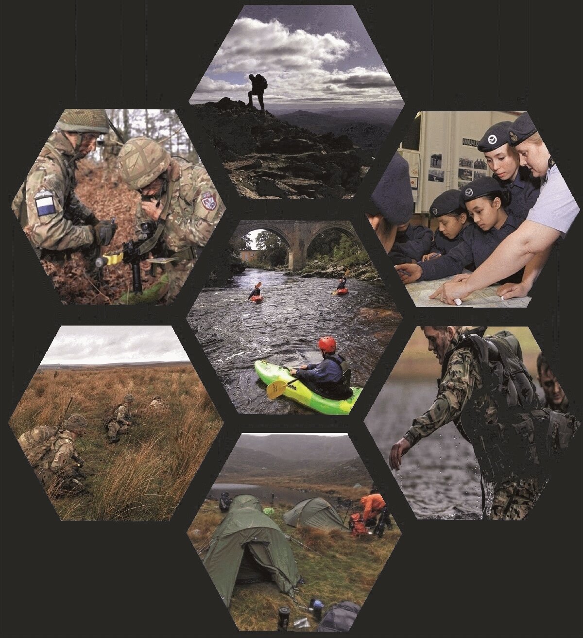
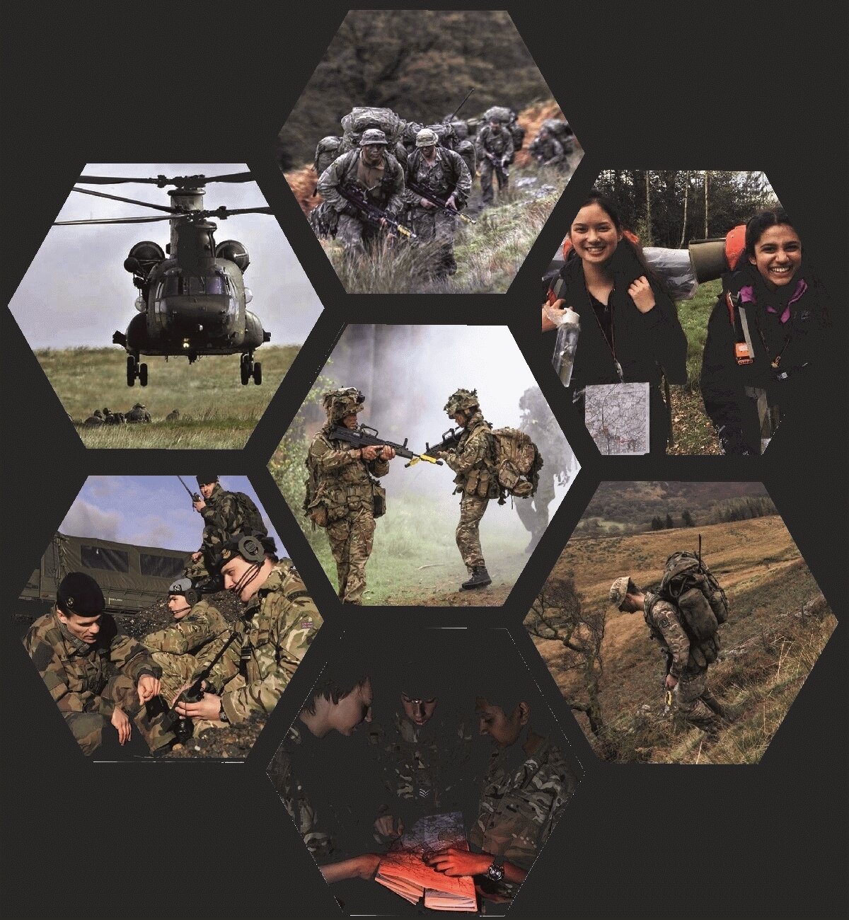
The service has evolved through close collaboration with a user community for almost thirty years. Claymore is now used by the Scotland and Northern Ireland Training Estate and the Wales Training Estate to manage all non-range-based training activities. This represents a significant proportion of Army and Cadet force training in the United Kingdom.
Claymore provides management, health and safety, and in the worst case the emergency services with the answer to the vital question: “Who is doing what and where?”
Claymore records and processes information relating to: Applications for training including their fully automatic ingestion and document storage with automatic versioning and access controls,.
Pre-defined locations (“Packages”) suitable for various types of adventure training, for example climbing or canoeing with grades of difficulty.
Land-owner information including the geographic extents of land holdings. Leases and pre-defined areas that meet recurring or user defined training requirements.
